Policy S/RRA/OHD: Old Highways Depot, Twenty Pence Road, Cottenham
- Site area of 0.6 hectares
- Capacity for approximately 1,500 square metres gross internal area of employment use Class E(g)(i) (offices), E(g)(iii) (light industrial), and B8 (storage or distribution) development replacing the existing accommodation.
1. Development proposals must demonstrate how they will meet the following requirements:
- Development proposals must respond to the rural setting by locating built development on previously developed land, retaining the natural screening provided by trees along the road frontage;
- Proposals must ensure that safe and suitable site access can be maintained at all times as the site access lies within Flood Zone 3;
- The site’s landscape boundaries should be retained and enhanced, including provision of a native buffer up to 10 metres on the western boundary and landscape and ecology within the site itself; and
- The siting and design of buildings, in regard to height, scale and form, must respond positively to local character and ensure no unacceptable adverse impacts on nearby heritage assets or their setting, including the Grade I listed All Saints Church and the Cottenham Conservation Area. A design led approach must ensure development:
- Is sited to avoid obstructing or interfering with views of the church tower from Twenty Pence Road; and
- Reflects the local prevailing building heights.
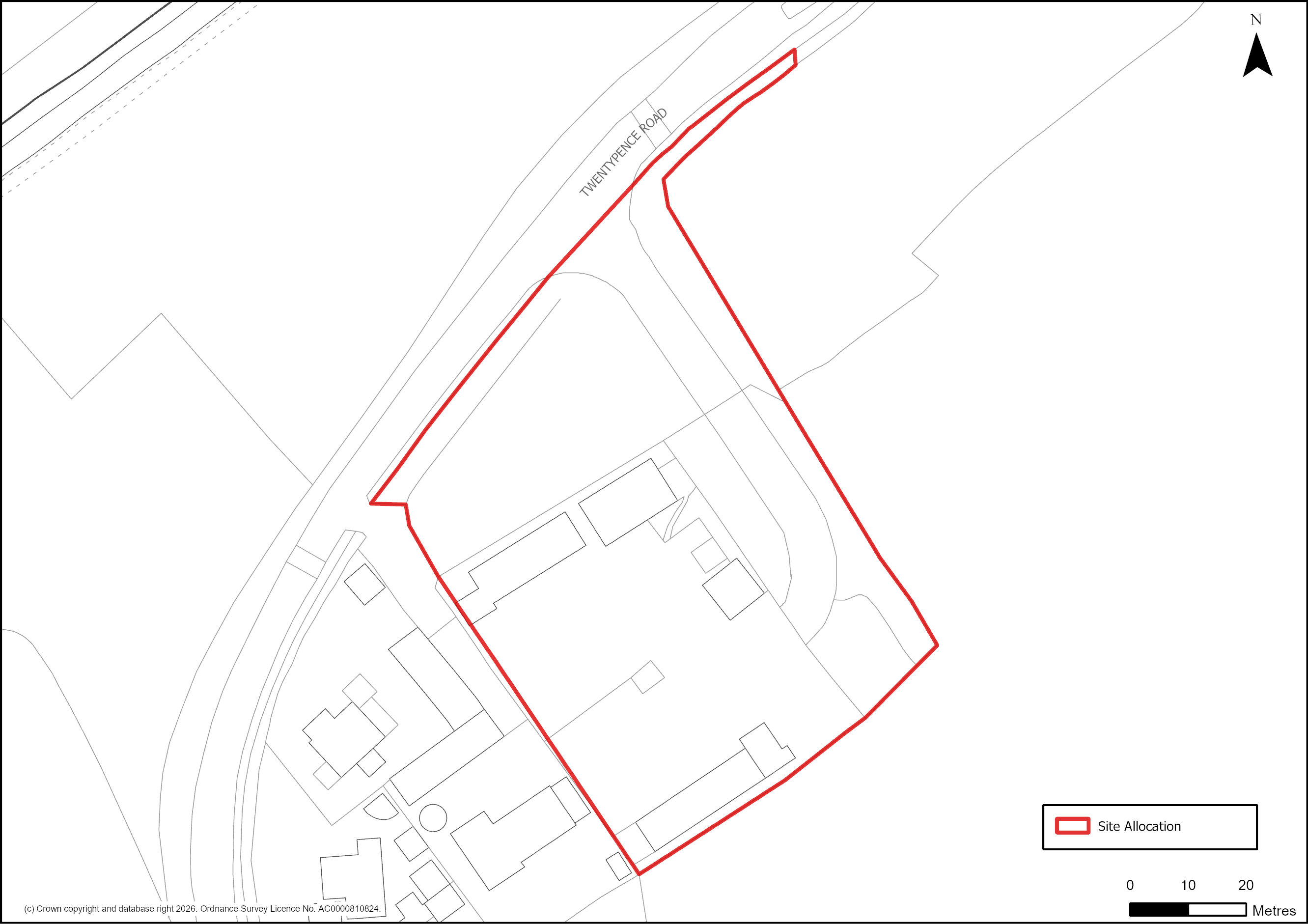
Figure 95: Site Plan of S/RRA/OHD: Old Highways Depot, Twenty Pence Road, Cottenham
Supporting information
3.5.24. This 0.6 hectare site is allocated for employment uses to make better use of an existing employment site to meet the demand for industrial floorspace on a mostly previously developed site within the village framework of Cottenham, a Minor Rural Centre with a substantial number of village services. The site attained planning consent in May 2023 for the re-development of the site for approximately 1,500 square metres (gross) of office and storage (Use Class E(g) and B8). The policy responds to its rural location and the heritage impacts by requiring built development to be confined to the existing previously developed land with appropriate enhancement to landscape boundaries and to mitigate impacts on the historic environment by ensuring buildings are located and designed to reflect the rural village-edge and setting of the Grade I listed All Saints church and Cottenham Conservation Area. A small portion of the site frontage, including the site access, falls within Flood Zone 3, therefore, the developer will be required to demonstrate safe access can be maintained at all times.
Tell us what you think
For further guidance on how to submit comments, please see the Representation Guidance Note.